
Irrigation without feedback
Watering schedules don't always reflect what the soil needs today.

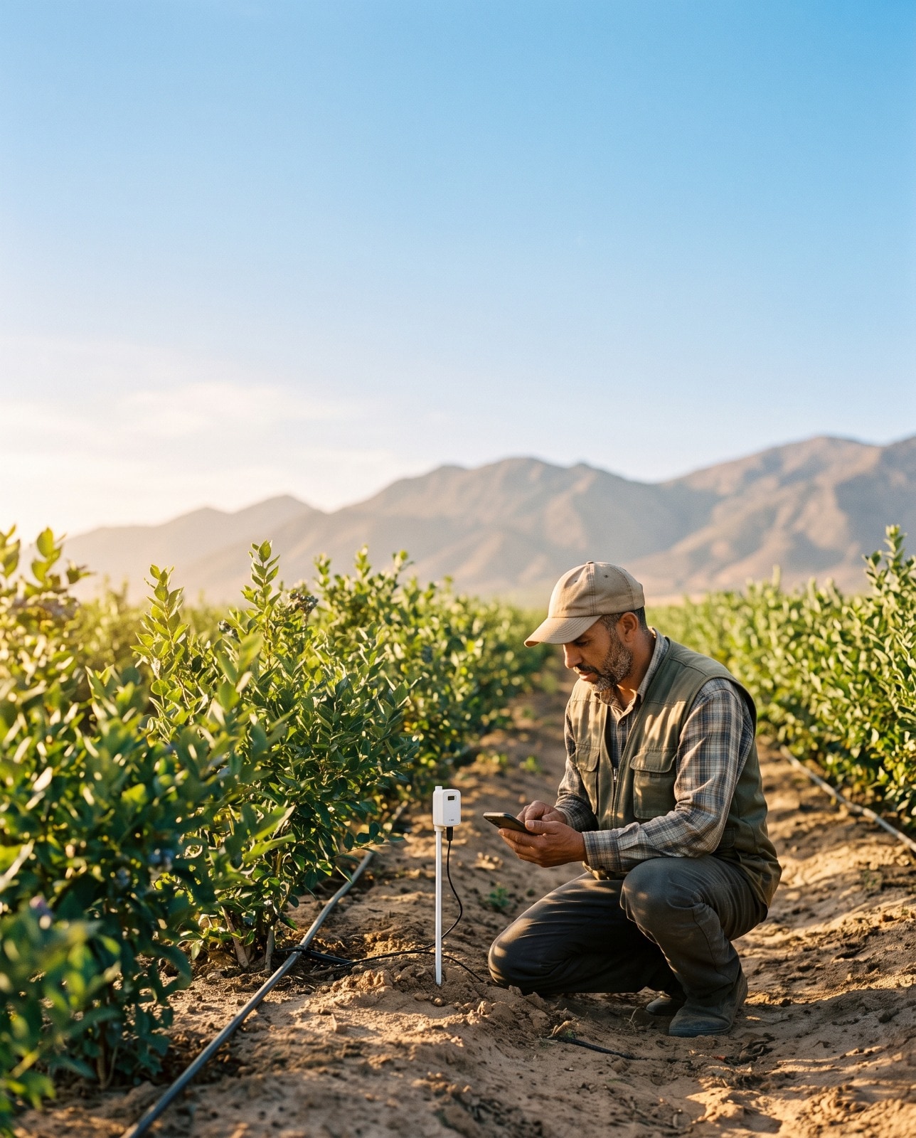
Earth observation · Field data · Artificial intelligence
IrrigSense combines Earth observation, in-field sensing and artificial intelligence to transform agricultural data into precise irrigation decisions for every parcel.
THE CHALLENGE
Irrigation decisions made without field data can lead to wasted water, crop stress, and unnecessary input costs.
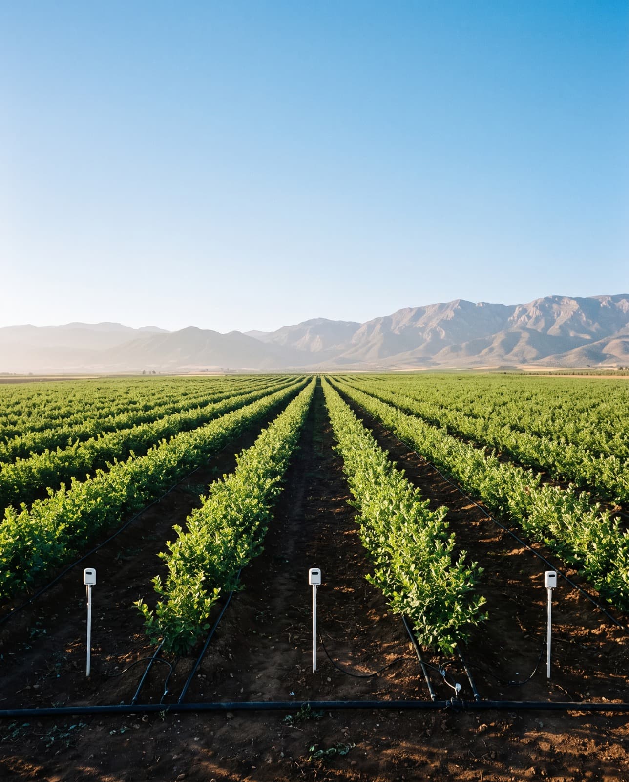
Watering schedules don't always reflect what the soil needs today.
Visible symptoms may appear after crop performance has already been affected.
Excess irrigation can carry nutrients beyond the root zone, wasting resources.
Without reliable records, proving how water is managed becomes harder.
The Solution
Everything is presented in the language of the field, so a grower, an agronomist and a farm manager can all work from the same view.
A live picture of conditions across your parcels, updated throughout the day without anyone walking the field.
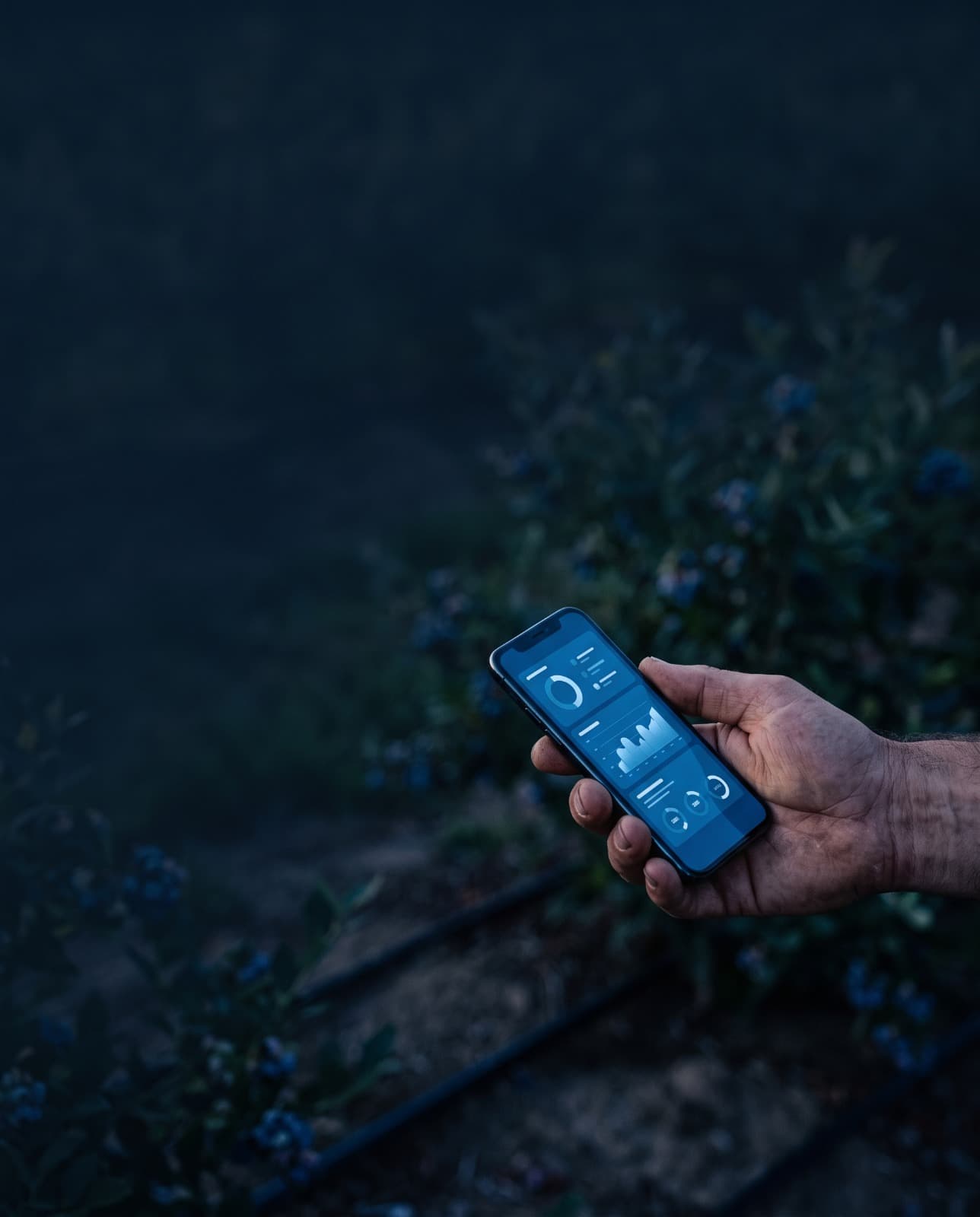
A clear answer to the daily question: how much water does this parcel actually need today.
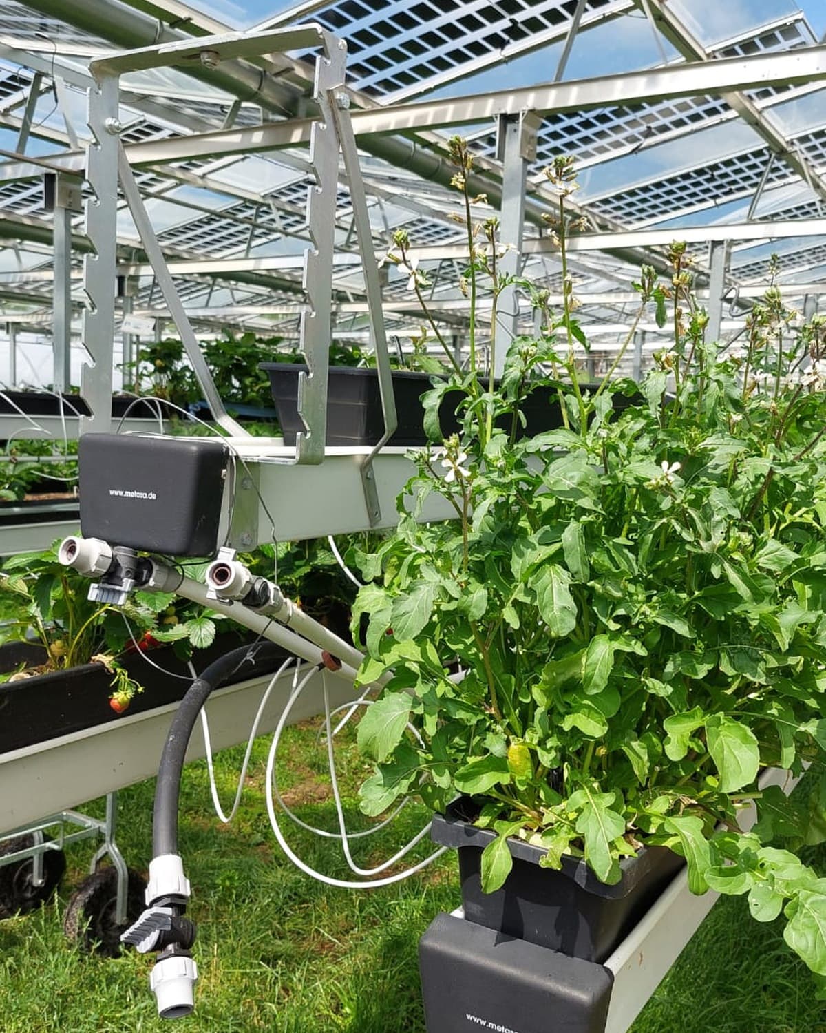
Upcoming conditions are factored into the recommendation, so irrigation is planned around the weather instead of reacting to it.
When something needs attention, the alert arrives on the device the grower already carries, including basic mobile phones.
Every parcel on one map, with the season's history behind it and exportable records for traceability requirements.
Ask about a parcel in everyday language and get a direct answer, without reading a dashboard to find it.
How it works
IrrigSense connects satellite observations, in-field sensors and artificial intelligence into a single recommendation loop.
Satellite imagery tracks vegetative vigour across the whole farm, while connected sensors read soil moisture and microclimate where roots grow.
The system combines remote sensing, field telemetry and weather forecasts to estimate the actual water requirement of each parcel.
The grower and farm manager receive straightforward recommendations on volume, timing and priority, delivered before stress occurs.
Partners & Collaborators
IrrigSense is developed in close collaboration with leading research institutions, agribusiness operators and agricultural innovation programmes.






Get in touch
Tell us about your crop, region and what you are looking to improve. We will follow up to arrange a demonstration.